Dent d’Hérens – Tiefenmatten
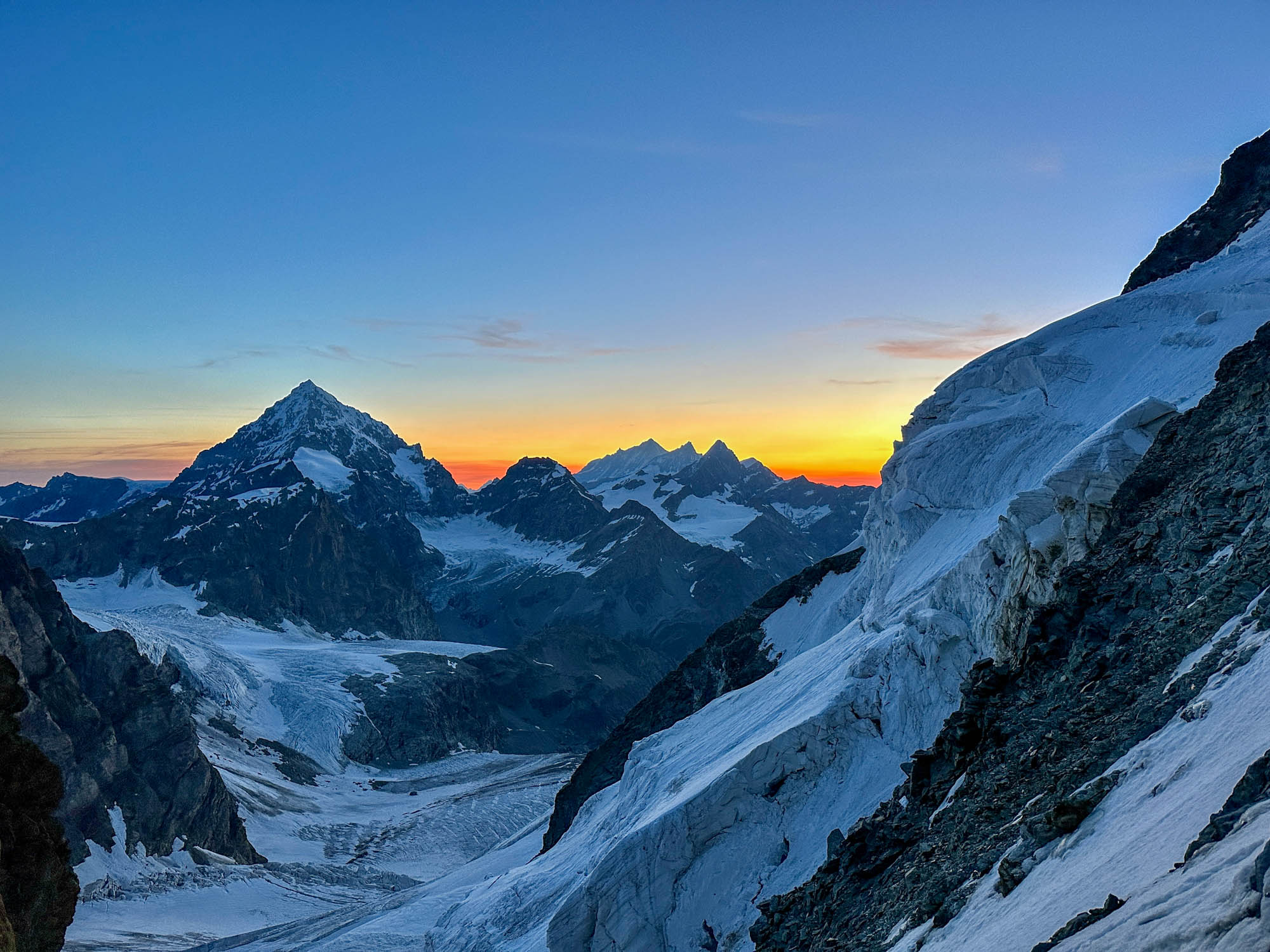
The Dent d’Hérens Tiefenmatten climb is one of the most fascinating and demanding ascents in the Pennine Alps. This Dent d’Hérens Tiefenmatten ridge climb offers a true alpine adventure, with breathtaking views over the Matterhorn and the Monte Rosa massif.
Guided by certified UIAGM professionals, the Dent d’Hérens Tiefenmatten climb combines glacier travel, exposed ridges, and authentic high-mountain atmosphere.

Duration
2 Days

Period
Jun - Sep

Guide ratio
Max 1 for each Mountain Guide

From
1430€


SEE GALLERY