PROGRAM
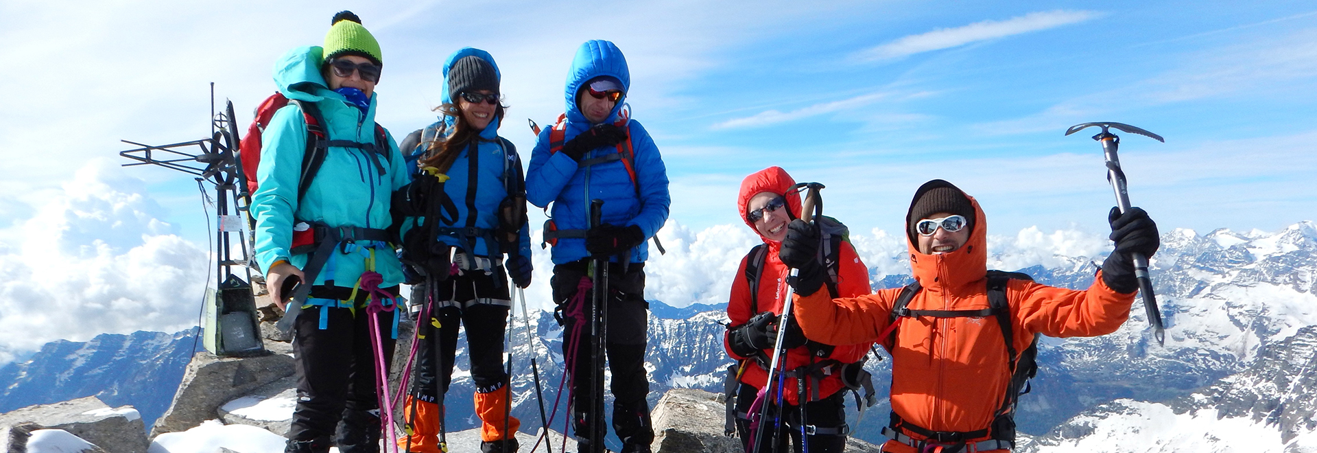
The Tresenta is the easiest among the peaks of the Gran Paradiso group. Highly recognizable for its pyramidal shape, it stands next to what remains of the Montcorvè glacier, between Ciarforon and the Colle del Gran Paradiso. Its ridge is now reduced to a stony ground and on the top, there is a cross.
GROUP DEPARTURES
Difference in altitude: 815 m
Ascent time: 2 hours
Meeting point: meeting in Pont Valsavarenche for equipment check and a short briefing.
From the parking lot in Pont Valsavaranche (1,960 m), we follow the forest road that crosses the bridge over the Savare stream and head into the valley. A little further on, we take on the left the trail for Vittorio Emanuele hut, that with numerous hairpin bends climbs the steep woods. Higher up we come out of the woods and heading east we cover the large moraine, beyond which the view stretches to the north face of Ciarforon (3,642 m) and Becca di Monciair (3,544 m).
The hike to reach the Vittorio Emanuele hut (2,775 m) is quite short.
Difference in altitude: 830 m
Ascent/descent time: 7-9 hours
From the hut, we go along the moraine until we reach the plateau above. Following several cairns, we arrive at the Moncorvé glacier and cross it to reach the obvious shoulder which, depending on the season, can be rocky or a steep snowy slope (40°). We go along it up to the summit (3,609 m). For the descent, we follow the same route.
DETAILS
RATES
- the assistance of a UIAGM certified Mountain Guide
- liability insurance
- loan of shared safety material
- packed lunch for the day of the ascent
The rate does not include
- research and rescue insurance with UVGAM coverage (recommended): €5 per person for 3 days
- the hiring of any personal equipment (harness, ice axe and crampons): €20/day per person while supplies last
- anything that is not mentioned under "The rate includes"


