THE PROGRAM:
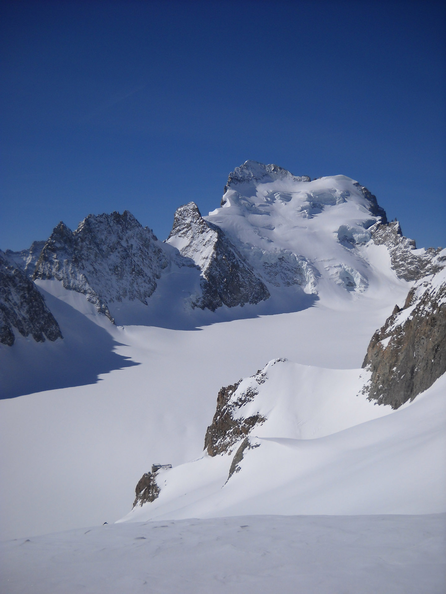
Because of its jagged structure the Massif des Écrins offers technical Hills and steep slopes, with fantastic downhills…
This route is for good skiers in a great physical shape. It takes you in a unique and charming environment with breathtaking views of the most beautiful peaks of the French Dauphiné.
Tour des Écrins GROUP DEPARTURES
RATES
- Price on request. Contact us for a personalized quote. XXX
THE RATE INCLUDES
- the assistance of a UIAGM/IFMGA certified Mountain Guide
- liability insurance
THE RATE DOES NOT INCLUDE
- research and rescue insurance with UVGAM coverage (recommended): €12 per person for 7 days
- tickets for lift facilities
- the Mountain Guide’s expenses (lifts, transfers, meals and accommodation) to be covered by participants
- transfers, meals and accommodation
- anything that is not mentioned under "The rate includes"
LIVE THE ADVENTURE, SHARE THE EXPERIENCE
We believe that adventure is the soul of life. Our mission is to inspire people to be able to overcome their limits. Such as the spirit created between rope partners, we believe in the value of sharing experiences and emotions
LIVE THE ADVENTURE
We believe that adventure is the soul of life. Our mission is to inspire people to be able to overcome their limits.
SHARE THE EXPERIENCE
Such as the spirit created between rope partners, we believe in the value of sharing experiences and emotions

Tour des Écrins ASCENT DAY BY DAY
Difference in altitude: 1,035 m
Ascent time: 4-5 hours
Meeting point: La Grave, equipment check and short briefing with the Guide
From La Grave, we take the la Meije cable car up to the Col de Ruillans (3,211 m). Wide, gentle slopes on the glacier take us to the Col de la Girose (3,518 m).
Going down the steep and narrow side (with a gradient between 30° and 40°), with good snow still on skis, we reach the glacier de la Selle, which we cross to the western foothills of the Tete Nord du Replat. We climb the slope that leads to the Col du Replat (3,446 m) and go on to the other steep slope, which we go down on foot until the slopes become more gentle.
We continue along the rocky ramparts of the Tête Sud du Replat, keeping the southbound direction, avoiding a rocky jump, to take on the steep east-facing slopes that lead up to the Refuge du Chatelleret. Dinner and overnight stay at the hut.
Difference in altitude: 1,600 m
Drop height: 1,700 m
Ascent/descent time: 6-7 hours
From the hut, we go down the Valley with gentle slopes heading South, until we reach the rocky ribs coming from the Bonnet des Cavales. Here we take the large and well slanting slope, heading East first and Southeast after. We touch the Glacier de la Grande Ruine and passing around the rocky ridge of Pic Bourcet, we head to the Col de la Casse Deserte (3,484 m), walking the last stretch.
We ski the East side until we get to a snowy low-lying area on a rocky ridge. Here we cross the pass and go below the summit along the short East ridge until we reach the top. With skis we return to the pass to tackle the Glacier de la Casse Deserte on beautiful South-facing slopes up to the long but never overly flat Glacier de La Platte des Agneaux; We ski the whole way up to the Refuge de L’Alpe de Villar D’Aréne (2,079 m). Dinner and overnight stay at the hut.
Difference in altitude: 1,600 m
Ascent/descent time: 5-6 hours
We leave the hut and take the spacious, almost flat Vallon du Rif up near the Col d’arsine (2,300 m). You climb the rocks of the Pic d’Arsine to a height of 2,900 metres, where the slopes are very steep (around 50°) and we have to walk if we want to arrive not too late in the morning, due to exposure to the East. Crossed the gap (3,170 m) to the South, we head to the top via a large glacial hummock.
From the top we go down along the hummock for a while, and bordering the ridge above, we reach the Col Emil Pic (3,586 m). In a short time, along a nice slope, we reach the Refuge Des Ecrins (3,170 m). Dinner and overnight stay at the hut.
Difference in altitude: 1,100 m
Drop height: 1,450 m
Ascent/descent time: 5-6 hours
We go down on the flat Glacier Blanc and go back up staying on the left bank and under the overlying peaks up to the obvious slope that leads to the Col des Ecrins. Then, we head South and towards the seracs areas that characterise this side of the Barre. Avoiding them bring us under the rocky wall of the Barre and with a diagonal heading West, we get to the top of the Dome de Neige des Ecrins (4,015 m).
Back on the Glacier Blanc, shortly after the turnoff for the Col Des Ecrins, we go back up the small South-East face and the South ridge of Roche Faurio; in about an hour and a half we get to the top of this vantage point (3,730 m). For the descent, we continue for several kilometers along the glacier until, we leave its orographic edge at about 2,850 m and proceed through dips and hollows, until we reach the Refuge du Glacier Blanc (2,550 m). Dinner and overnight stay at the hut.
Difference in altitude: 900 m
Ascent/descent time: 3-4 hours
Starting from just behind the hut, heading East, we begin to climb the wide, deep valley, which, narrowing close to Glacier Jean Gauthier, requires a turn towards the North to overcome a rocky range. Then, after a short plateau, still heading East, we continue until we reach the Col du Monetier (3,345 m).
Always following the edge of the ridges above it to the right, we climb up to the top (Pic du Rif 3,472 m).
We go down near Pic Jean Gauthier and a small pass, towards the beautiful valley du Monetier, which we follow all the way. The forest road lead us to the village to return to La Grave crossing again the Col du Lautaret (with public transport).
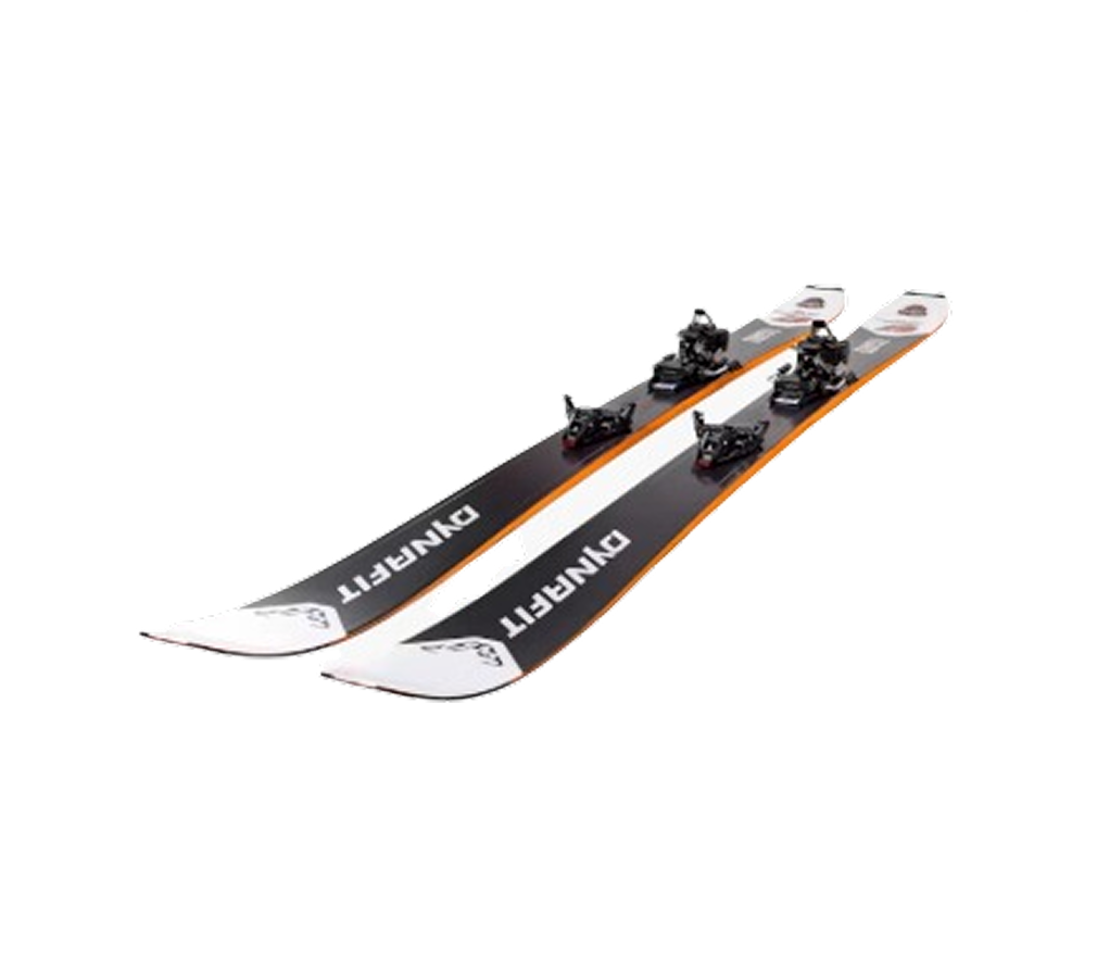
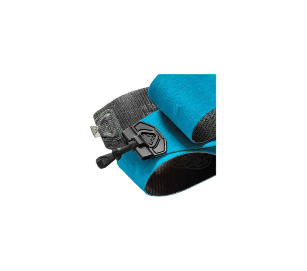
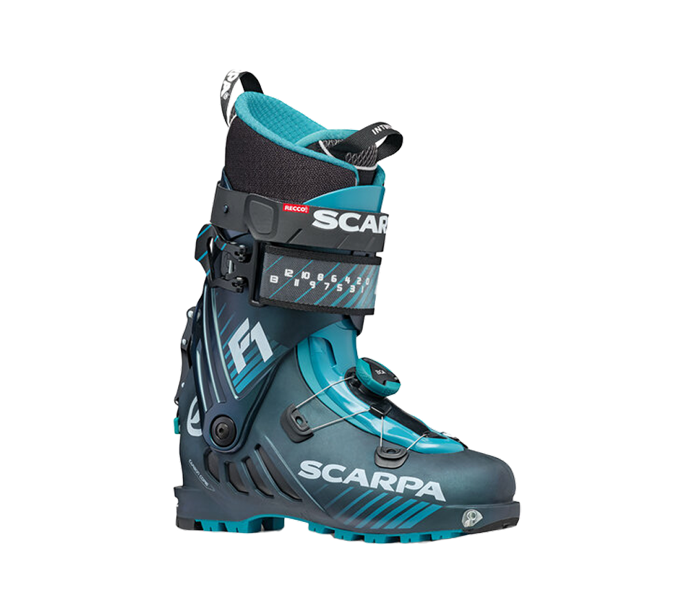
EQUIPMENT REQUIRED

NOTES
- It is crucial that participants follow all instructions provided by the mountain guides before and during the activities, and that they accept any changes made to the programme in order to guarantee their safety.
- Fees for lift facilities, transfers and mountain lodges are subject to changes established and applied by they respective owners. without any liability attributable to PEAKSHUNTER Mountain Guides.
- The rates listed in the “The rate does not include” section are to be considered merely indicative and are therefore subject to changes.
- PEAKSHUNTER Mountain Guides reserves the right to change any route or activity programme based on conditions (weather, accessibility, refuge) and participants’ fitness level.
- The dates indicated for the activities may change due to weather, snow, or soil conditions, etc. In addition, they depend on the date of opening / closing of the lift facilities, which are established seasonally/yearly by the managing entities of the same and, therefore, are not in any way attributable to PEAKSHUNTER Mountain Guides.
Technical difficulty